Buford Grove Cemetery
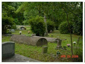
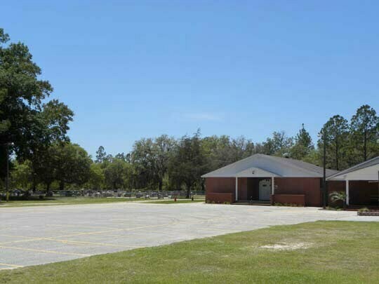
Buford Grove Church became a member of the St. Mary’s Association in 1887, but it is thought that services were held at least ten years before this association when the recorded membership was 47 members. The land on which the church is located was deeded to the trustees by Henry and Isabelle Davis on 18 July 1904. In 1934, land the Davises had donated for a school was deeded back to the church by the Nassau County School Board. An additional five acres was purchased in 1954 from Mr. and Mrs. Eustis Loyd. The church left the St. Mary’s Association in 1924 and became affiliated with the Fundamental Baptist Fellowship. Early pastors included Daniel Sikes (1891), D. C. Andress (1899), Theodore Davis (1905), Mac McDonald (1917), Willie Sanders (1923), Dr. A. L. Kennan (1924), J. W. Caines (1925), W. E. Hall (1926), E. R. Bowers (1938), J. E. Murhee (1951) and S. H. Stewart who served for 35 years from 1961 to 1996 when he retired. An additional one acre of the church property is being used as cemetery space since the old cemetery is full. The inventory was made beginning with the section behind the community hall (site of the original church) at the westernmost part of the cemetery and beginning with the grave closest to the road. Graves a numbered by row, and by number in the row, so a grave located as Row 6:7 Would be in row 6, grave number 7. An unpaved access road is […]
Buford Grove Cemetery Read More »