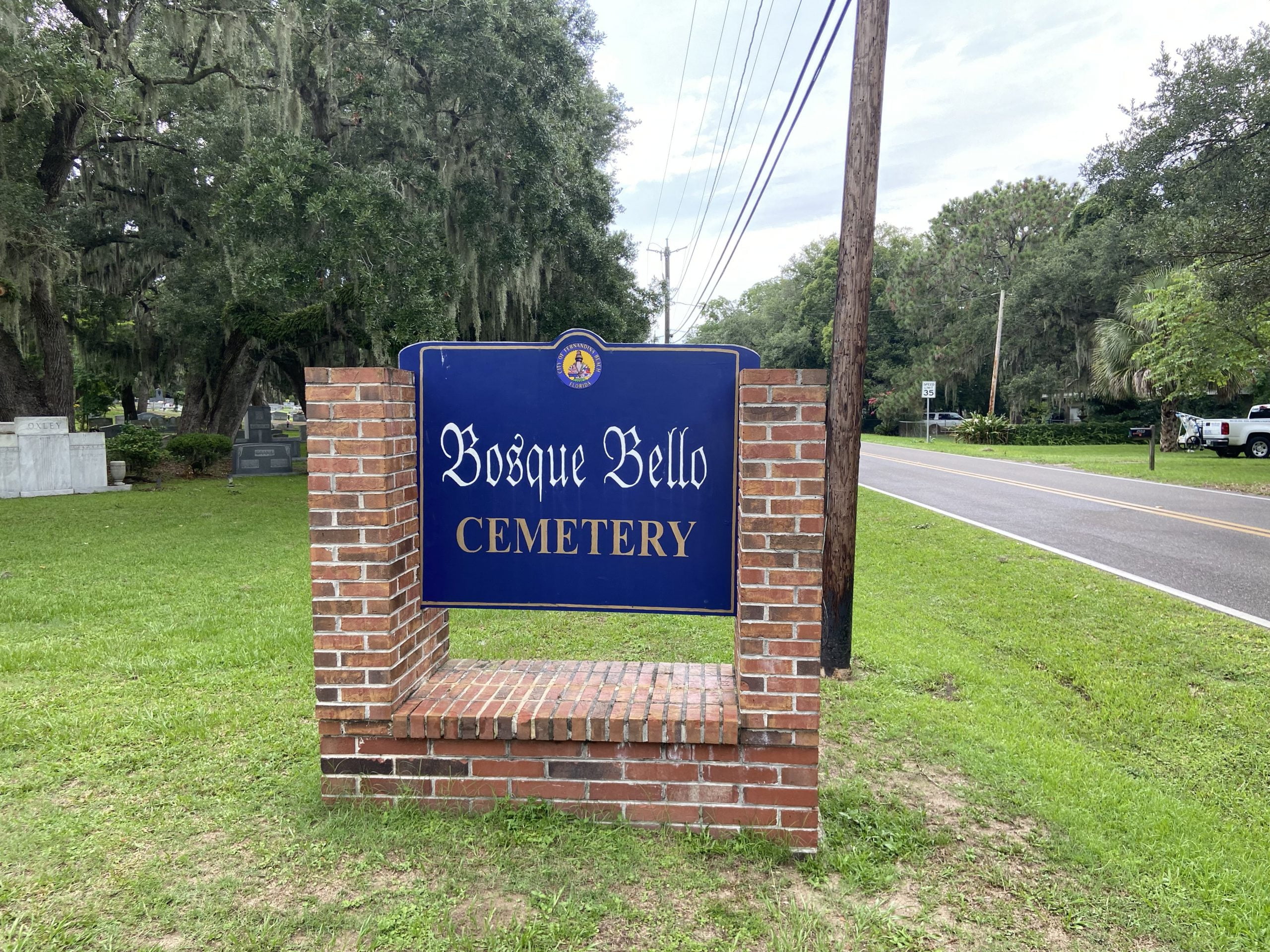
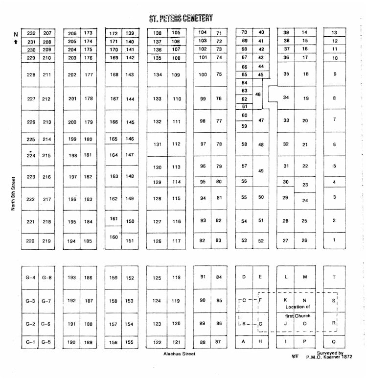
St. Peter’s Episcopal Cemetery
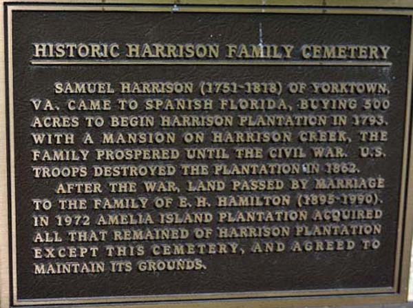
St. Peters Episcopal Church was organized on June 14, 1858, by Rev. Owen P. Thackara, who is buried in the cemetery, and a small group of Fernandina citizens. This meeting was held on the second floor of Timanus Hall, a building which once stood on the corner of Second and Centre streets and was destroyed by fire in 1876. The first church building was a wooden structure located at the southeast corner of the present St. Peter’s Episcopal cemetery. During the War Between the States, the building was occupied by the federal troops. Unauthorized burials were made on the church property during the time of occupation. It is thought that the first burial was that of Frederick Albert Grossman, the two-month-old son of Frederick Grossman, a captain in the 7th U.S. Infantry. Peter W. O. Koerner, a county surveyor who was born in Prussia, surveyed and divided the cemetery into plots, circa 1872 . He was also the surveyor for the new town of Fernandina. Church records show a variety of causes of death: yellow fever, catarrh (sic) of stomach, consumption, phthisis, neuralgia of the heart, congestion of the brain, killed by a train, bitten by a shark and bled to death, shot, drowned. Young Willie Jeffreys died after being attacked by a bear from a traveling circus while attending school in Gainesville. His body was returned to Fernandina for burial. Low cemetery walls surround many of the old grave sites. Many of the early tombstones were made by the […]
St. Peter’s Episcopal Cemetery Read More »