
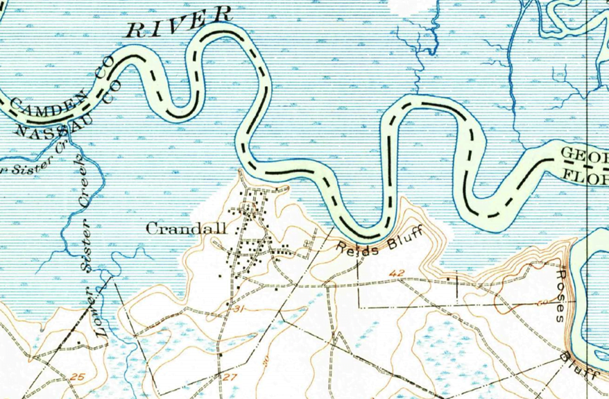
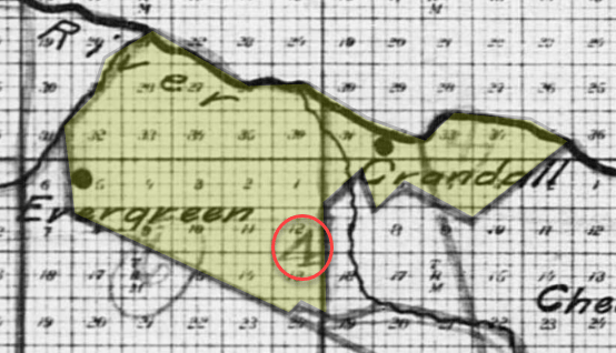
The Villiage of Crandall was platted in 1927, it had sprung up around the L. A. Davis and Brother’s Turpentine Mill located on the St. Mary’s River west of Roses Bluff circa 1895. The land was sold to Rayonier circa 1937. There was an African American church in Crandall.
The 1910 Census, of Census District 4, which includes Crandall and Evergreen, was 75% African American (black/mullato) and had a total population of 210.
There are two known marked graves and a large number of depressions that are likely grave sites. There are 30 known death certificates citing Crandall cemetery as the place of burial. The Crandall database lists the known and suspected based on death certificates and burials not just the existing grave markers.
The cemetery is on Rayonier Forest Products’ land and prior approval is required to be escorted to the cemetery, snake-bite gaiter, orange safety vest, and hard hats will be provided, and four-wheel-drive vehicles are recommended as approximately 4-miles of dirt roads are on the route.
The large marked visible headstone is that of my grandfather, James Hill, Jr. who died in 1942. He was a veteran and his grave’s headstone survived because it was ordered by the local funeral home from the military. He lived and raised his children in Crandal, Florida. My mom often spoke of it and grandfather worked at a turpentine mill. I have searched many times to find his grave and was shocked that it was still on the property for which family did not have access. It is possible that his wives, Jessie Hill and Letha Hill are also buried in that cemetery. I am anxious to find out. A local researcher and I had a conversation about the ongoing efforts to preserve the site of the ancestors.
My great grandfather is buried in Crandall and one of the headstones still standing. I have been researching my family with the help of my Aunt and this is a part of our family history.
Our family oral history is that the town of Crandall is named after Simeon Crandall 1813 – 1897. He is the son of Simeon and Ruth Crandall. He moved to Florida in 1869 with his family and lived in Crandall for 28 years. It is said the town is named in his honor. He was the Postmaster for some years and served as Justice of the Peace. He died in Crandall on April 2, 1897 and is buried at St. Marys, Georgia.
This information is provided by Ruth Southard, Great Granddaughter of Simeon and Ruth Crandall in March of 1923.
Kristi Crandall